WorkBench Record Mapping Tool
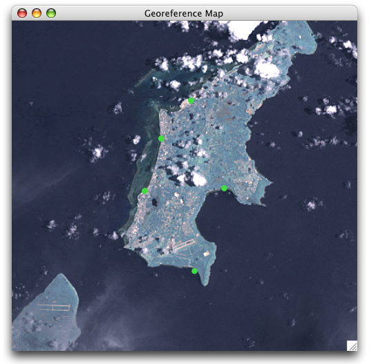
The Record Mapping Tool displays the Latitude and Longitude points as a green dot on a satellite map. The map includes rivers and political boundary overlays. The maps are obtained from a pair of map servers, one hosted by NASA and one hosted at the University of Kansas.
Requirements
- Latitude 1
- Longitude 1
To map geocoordinates, sweep records in a Data Set to select them and click the Record Mapping Tool button (![]() ). To map an entire Data Set either select all the records or no records.
). To map an entire Data Set either select all the records or no records.
Georeference Map